When you click on links to various merchants on this site and make a purchase, this can result in this site earning a commission. Affiliate programs and affiliations include, but are not limited to, the eBay Partner Network.
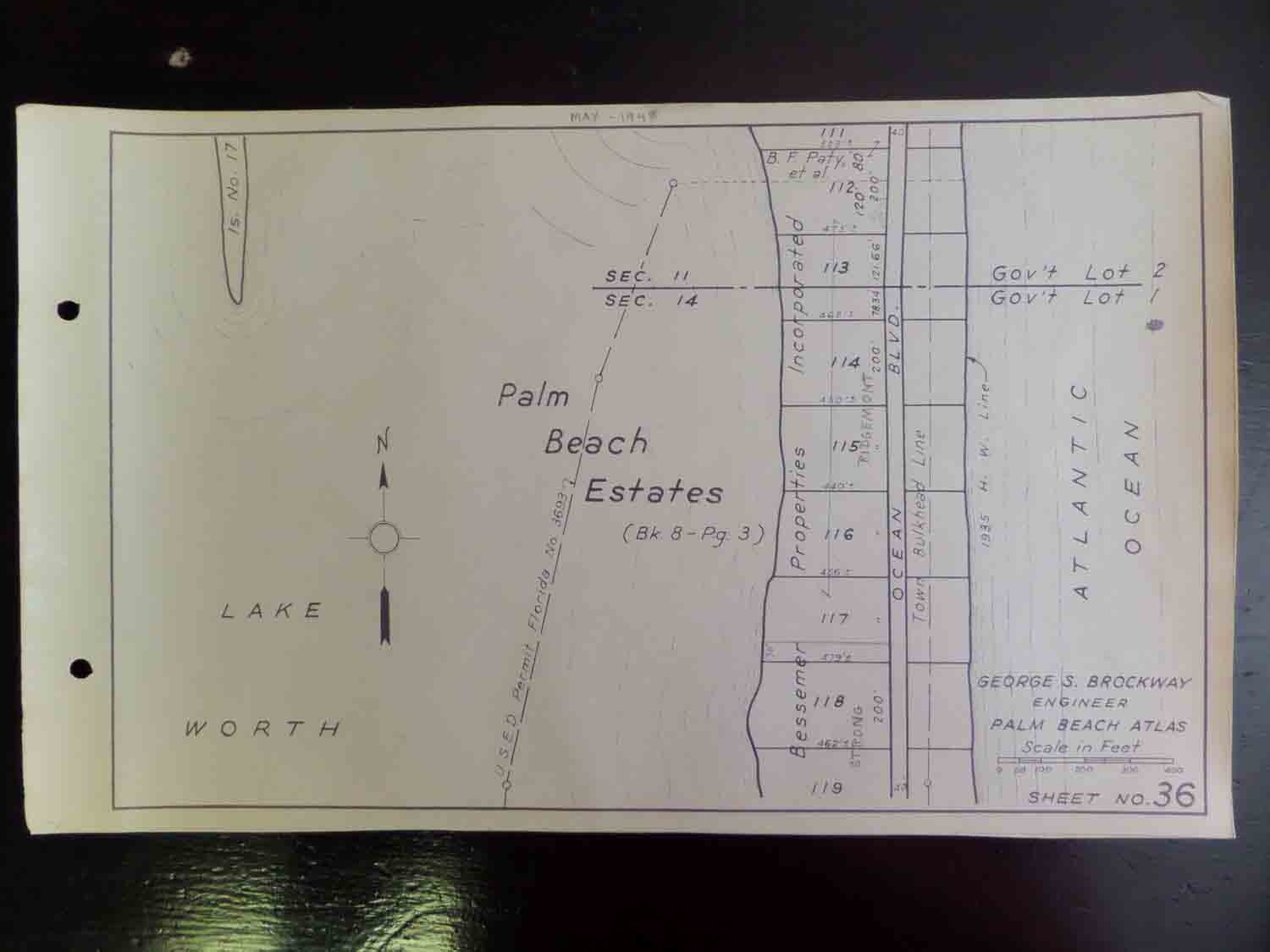
Palm Beach Atlas Sheet Sheets 36 to 47 - 12 Contiguous Sheets starting just south of present day Sloane's curve to the City of Palm Beach's southern boundary - Early Printing if not the 1st printing as other editions I have seen show A1A running along the Lake Worth Intracoastal side. The only clue as to a date of printing on any of those is the reference to the 1935 high water mark shown on many sheets.
The Library of Congress shows a printing date as c.1936 on their copy.A1A as it is known now, S. R. 1, then, continued along the beach all the way to Manalapan. In the 1940's a hurricane washed out part of the road and the road was moved inland after filling the area along Lake Worth Lagoon.These sheets show that a permit to fill the Intracoastal side had bee applied for or approved to fill, but it had not been done yet.
Palm Beach Condominiumrow and Lake Worth Public BeachFrom the Palm Beach Atlas websiteSee more pictures of the actual sheets offered here at the websiteGuaranteed Original and AuthenticPossibly a one of a kind chance to buy original sheets as the only other editions of the atlas I have seen are hardbound. In March a complete hardbound copy of the atlas sold on eBay for $14,000!For more info about the Palm Beach Atlas see the website which shows all sheetsShips insured USPS flat rate legal size envelope.
Maps are legal size 8.5" x 14"